Showing posts with label routes. Show all posts

Grand Balcon Sud


The Grand Balcon Sud is a path which runs high along the side of the Chamonix valley from Brevent to Lac Blanc. There is another very good path on the north side of the valley, but the southern path has marvellous views of Mont Blanc and the Augille du Midi.
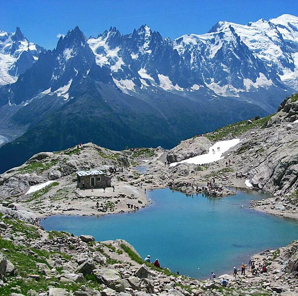


The best way to walk the path is to take the cable car from Chamonix to the station at Brevent and then walk north along to La Flegere. This will take a few hours. From there you can take the cable car down to the valley floor and catch a bus back to Chamonix. A better idea is to walk further along the side of the valley and another 500 feet higher to Lac Blanc. There will usually be plenty of snow around even in July. When I was last there the lake was frozen solid. From the lake you can turn south and walk to the station at L’Index, then catch the cable car down via La Flegere. The path is easy enough. There is one short iron ladder to climb and poles are advisable for the sections that are still under snow. The reward is superb views across the valley. If you do the walk later in the day you will probably be able to see the paragliders launching from Brevent.

There is plenty to do in Chamonix and you can easily spend several days there. There are lots of hotels and booking is not usually necessary except in August when the French take their holidays. I usually stay at the Sapiniere. The people are friendly and it’s in a good location.

For people from the UK Chamonix makes a good stop on the way to the Dolomites. It’s about two days drive to Chamonix from Calais with lots of good places to stay along the way. When you leave Chamonix the entrance to the Mont Blanc Tunnel is only a few miles from town. Once through the tunnel you can soon be on the Italian motorway network and in the Dolomites in the same day.

The Lavadas of Madeira

The island of Madeira is wet in the north and west and dry in the south east. In the 16th century the Portugese started building lavadas [channels] to carry water south and east from the mountains to the agricultural regions. Madeira is very mountainous and building the lavadas was often very difficult. Many are cut into the sides of mountains.


There are also 25 miles of tunnels.


There are now over 1,350 miles of lavadas and they provide a magnificent network of walking paths through some of the finest scenery in the world. Some provide easy and relaxing walks through beautiful countryside. Others are narrow, crumbling ledges cut into the side of mountains where the slightest slip could result in serious injury or death. Two of the best are the Levada do Caldeiro Verde and the Caldeirao do Inferno. The two lavada are linked and are about 23 miles long in total. Both have a lot of tunnels and long sections which should not be attempted if you suffer at all from vertigo. Torches are essential for the tunnels. Helmets are also a good idea unless you are a midget.


On the Levada do Caldeiro Verde.

The best guide to the lavada and other walks on Madeira is "Landscapes of Madeira", published by Sunflower Books. This book won the Thomas Cook Best Travel Guide Award

This has detailed instructions on 42 lavada and mountain walks plus six road tours. The maps are superb and the book is well set out and easily carried. A good guidebook is essential because some of the levadas are hard to find. A few are signposted but many are not. I spent a couple of hours trying, unsuccessfully, to find one particular lavada. The authorities on Madeira need to recognise that the levadas are a real asset to their tourist trade and install proper signposting.

Don't look down


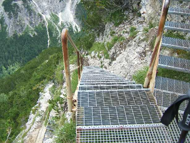
The path above looks as if it is one of the via ferrata paths in the Dolomites. It is actually in the Glacier National Park in Montana.  I would love to walk it, but I doubt if I will be visiting the USA again.

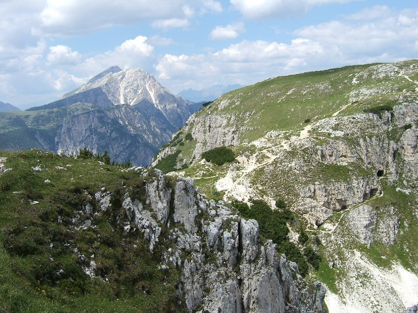
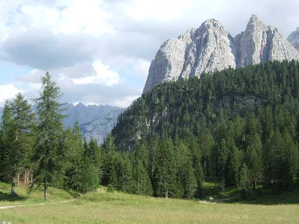
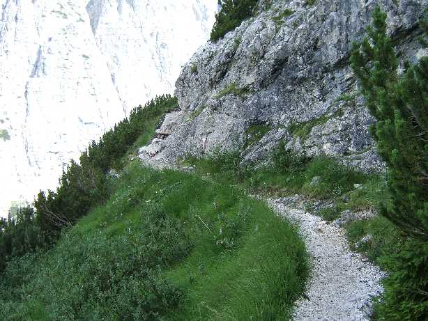
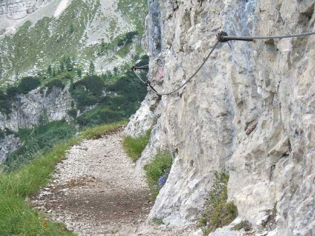
For some 'don't look down' paths that really are in the Dolomites see the  images below.


Up to Schynige Platte

Schynige Platte is a plateau above the town of Interlaken in Switzerland. It is famous for its wild flowers and views, particularly of Interlaken and its two lakes.


We left our car in the large car park behind Wilderswil station and took the cog railway  to the plateau.  I think this is the only way of getting to the top, apart from walking. A single ticket costs 18 Swiss francs, so it is a pretty expensive trip, though the train journey is an enjoyable experience by itself.  The train stops part way up at Breitlaunen, where there is a hotel/hostel of some kind.

There is also a hotel on the plateau if someone wanted to do a few days of high level walking..


There are several walks around the plateau. There is also a famous walk from Schynige Platte to First, which is above Grindlewald. This is sometimes described as 'the' classic Swiss alpine route. It takes about six hours. Because a railway runs from Grindlewald to Wilderswil you can easily do a round trip involving rail, cable car and Shanks Pony [see the map above].


Schynige Platte offers superb views all around, but particularly of Interlaken and its two lakes.


We made the mistake of walking down from the plateau. It was ok for the first hour, which brought us to  the station at Breitlaunen.

The next two hours to Wilderswil were more trying, particularly because we did not have walking poles with us. The path is good and easy to follow, but three hours downhill was hard on my thigh muscles.

Monte Piana in the Dolomites


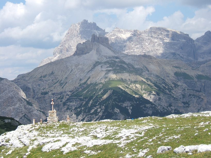
During the First World War the Austrians and Italians fought over this flat topped mountain. The Italians had one part of the plateau and the Austrians the other. A narrow bridge called the Forcella dei Castrati [?] connected the two parts. You can see the two parts and the bridge in the photograph below.


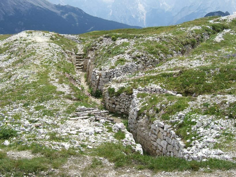
The plateau is now an open air WW1 museum, with reconstructed trenches and bunkers.


A former Italian military road runs up from a car park near Lake Misurina to Refuge Bosi at 2206 meters. Private vehicles are not allowed on this road, so you must either walk up or take a shuttle bus. These buses give a fast and exciting ride. The road runs around the side of the mountain and is steep and narrow, with no barriers between the road and eternity.

Refuge Bose has a small museum that is worth visiting at some point. From the refuge take path n.122 which runs off to the left. This runs around the edge of the plateau and passes a number of tunnels and bunkers created by the Italians during the war. A torch is useful at this point.


Once on the plateau there are lots of paths and you can just roam around looking at the restored WWI trenches, tunnels and bunkers. There is a marked historical trail which will lead you past the best bits.There are a couple of short stretches of grade one via ferrata in this area.


See also

Strada delle Gallerie

Via Ferrata Lagazuoi Tunnels

Map of walks and via ferrata

Interesting Gorges in Spain

The El Caminito del Rey (The King's little pathway)has now been restored and is open to visitors. In the second photograph you can see the old [very dangerous] path underneath the new one.


Walkers on the old path
Here is a post about another interesting gorge.

I have not tried either of the above but a few years ago I did walk the Cares Gorge Route in the Picos de Europa National Park. The park is in northern Spain and has several good walks.


EuroVelo 6 - Cycling along the Doubs near Bresancon

The EuroVelo bicycle routes are a network of long-distance cycling routes criss-crossing Europe. Currently there are fourteen routes making up a total of  27,962 miles.


EuroVelo 6 runs 2,270 miles alongside several rivers, including the Rhine, Loire and Danube. It goes all the way from the Atlantic to the Black Sea. Part of it runs alongside the Doubs River by the French city of Besancon.

Looking down on EV6 and the Doubs from Vaubans fortress.


The Danube Bike Trail is part of EV6. I cycled a section of the Trail a few years ago [see this post].  This time I cycled east and west along the EV6, on either side of Besancon.


The path to the east and west of the city is joined by a river, foot and bike tunnel underneath Besancon's Vauban fortress.


 When I asked about hiring a bike the Tourist Office suggested two shops in the city but I found a much better one, called Lerelaisvelo [www.lerelaisvelo.fr] right  by the bike path [see map]. The shop was run by what seemed to be a father and daughter team. The daughter spoke good English and was friendly and helpful. They had an excellent selection of cycles, including electric bikes and tandems. I chose an hybrid.

Lerelaisvelo
The Wikipedia page states that only 8% of the EV network is traffic free asphalted path and 56% is low traffic public roads. The section I was on was about 80% traffic free asphalted path and the rest  low traffic public roads. The paths were in very good condition and free of anything likely to cause a puncture. Though it was mid week there were a lot of cyclists and skaters on the path.

Some houseboats moored by the path
There was not a lot of traffic on the river. In theory the Doubs is navigable by boat. In practice there are many low falls, each with either a lock or a bypass canal. 

A ride along Monteal's Lachine Canal

When the Lachine Canal was opened in 1825 it transformed Montreal. The Lachine Rapids had blocked access to the upper St Lawrence. The canal bypassed these rapids and turned Montreal into a major port. Along with other canals it linked the Great Lakes to the sea.

In addition, the canal provided hydraulic power and many factories were built along its 14.5 km length. From 1850 to 1950 the canal was the site of the largest industrial complex in Canada. Over the same period the population of Montreal increased from 58,000 to over one million.

The canal is now closed and has been declared a national historical monument. A cycle path runs along its length and along the banks of the St Lawrence.

In April 2014 I hired a bike from a shop in the Old Port of Montreal


They provided me with a good bike at a cost of $8 per hour or $30 for a full day. Unlike a bike shop I had used earlier in Vancouver the shop staff struck me as honest and competent. They provided good advice and an excellent map (see below).


I followed the route marked by red arrows on the map below, along the canal and back by the banks of the St Lawrence; a total of about 37 km.  It was an excellent ride and I would recommend it to anyone visiting Montreal.


Ice at the mouth of the canal
The Lachine Rapids
On the right you can see some industrial buildings that have been turned into housing

West Loch Lomond Cycle Path

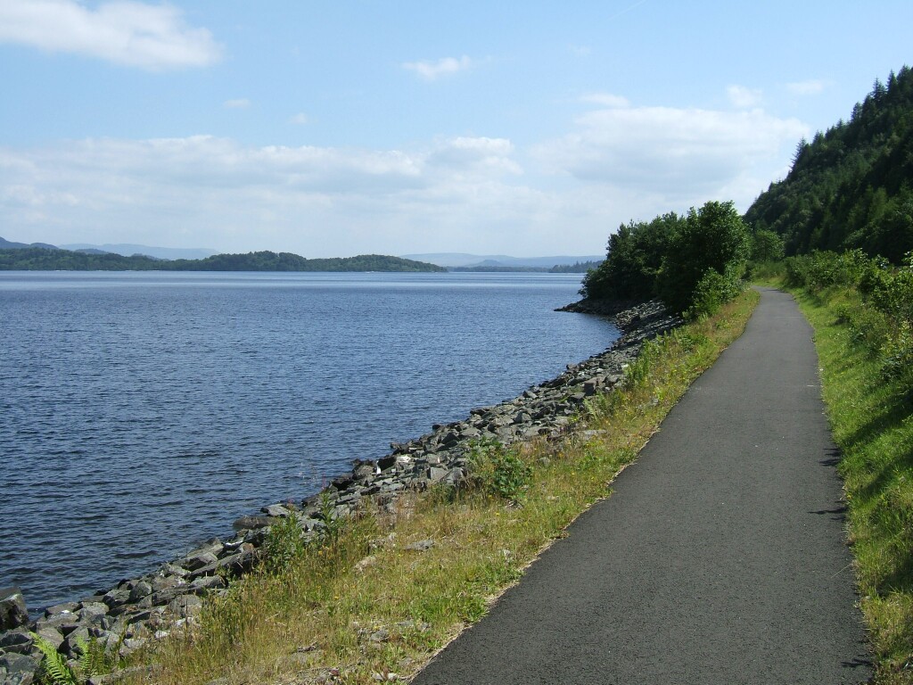
The West Loch Lomond Cycle Path runs from Tarbet near the top end of Loch Lomond to Balloch at the bottom of the loch. The path is about 28 kilometers long, and runs along the west bank of Loch Lomond, between the loch banks and the busy A82 road. It is best ridden from north to south, unless you prefer doing more cycling uphill than downhill.

If you would like to do the ride you can start by taking the Oban/Mallaig train to Arrochar & Tarbet Station from Glasgow's Queen Street Station. The train takes about 80 minutes, and goes up the shores of Gare Loch; passing the submarine base and the nuclear weapons store dug into the hillside. After you leave Tarbet Station you should turn left and ride down the hill to the tourist information office by the loch. The path starts a few yards away on the A82. The first few miles of the ride are on the pavement of the A82. For the remainder of the ride the path runs either alongside the road, or between the road and the loch. The path is poorly signposted. It has signs where they are not needed, and none where they are.


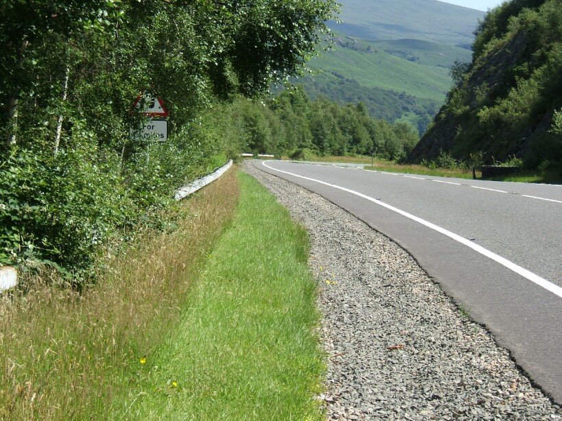
It is a pleasant enough ride, but is dominated by the noisy traffic on the A82. Too much of the path runs directly alongside the A82, and the rest is not very far away. The golf courses and commercial developments along the side of the loch [how did they happen in a national park] further push the path away from the water.


When you get to the end of the path you can either catch a train from Balloch Station [near to the bridge], or you can extend your ride along the Loch Lomond to Glasgow Cycleway. There are railway stations at each end of the West Loch Lomond Cycle Path, but none along its length. However, there are lots alongside the Loch Lomond to Glasgow Cycleway, and you can catch a train when you have had enough.


MAP

Up to the Turquoise Lake [Rif. Vandelli Traverse]


The proper name for the Turquoise lake is the Lago di Sorapiss. It is in the Italian Dolomites, to the east of Cortina.

The first part of the path starts at the Passo Tre Croci and was first established as a mule track in World War I. You pass a couple of overgrown forts, and then climb up through woods, and on a path that winds around the side of the mountain.

Cables have been set up where there is any exposure, but they are not really necessary. At one point there are a series of ladders to lift the path to a higher level. Most of the ladders in the Dolomites are pretty basic. Mainly of metal, but occasionally of wood. Often there are just stemples [rungs driven into a rock face]. These ladders are luxurious, with handrails and broad metal steps.


After about two hours you reach Refuge Vandelli where you can get food, drink and accommodation.


The lake is just a few minutes further along from the Refuge. The colour comes from suspended powdered debris from shrinking glaciers on the north wall of Punta Sorapiss.

The path continues on the other side of the lake, rising steeply and with some exposed stretches. There are supposed to be herdes of chamois in the trees above the lake.

Map of walks and via ferrata


See also

Strada delle Gallerie

Via Ferrata Lagazuoi Tunnels

Monte Piana